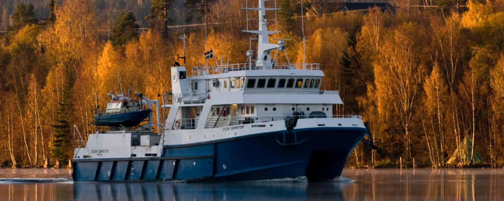
Ocean Surveyor
Built in 1989 and fully modernized in 2022, the Ocean Surveyor boasts diesel-electric propulsion with low-noise reversible propellers and two side-thrusters in each hull. It features Dynamic Positioning class 0 and offers autopilot, DP, and manual control options. Capable of staying at sea for up to two weeks, the vessel is equipped with advanced instruments for comprehensive seafloor mapping. Ocean Surveyor is capable of cover many aspects, from underwater photography to surveying and mapping bedrock down to 2 kilometers with centimeter precision. Her expertise ensures accurate data mapping, coring, and imaging both at the surface and the seafloor.
Ocean Surveyor is used by the Geological Survey of Sweden for geological mapping of the seabed within the Swedish Economic Zone. One week each year is allocated to support a SWERVE research voyage. Ocean Surveyor has advanced capabilities for multibeam and seismic surveys, however it should be noted by potential users that, depending on the area of interest and operations planned, there may be the requirement for security clearance of voyage participants, and an additional cost to have the support of the SGU marine surveyors/technicians, who are required if that equipment is to be used.
Ocean Surveyor is able to operate anywhere within the Swedish Economic Zone, noting that SWERVE voyages on Ocean Surveyor will be a maximum of 1 week, which includes transit to study site from the home port (Stockholm).
Contact
Björn Bergman - Vessel Manager, Ocean Surveyor
Phone: 076 761 7909
Email: bjorn.bergman@sgu.se